Discovery Reports ~ Folio of Map and Charts

Volume VI – Charts 1-7 – Complete Set
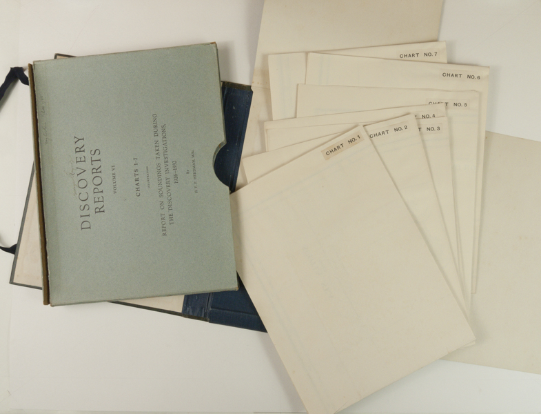
Charts 1-7 Illustrating Report on Soundings Taken During the Discovery Investigations 1926-1932. Publisher’s Folio Case with original case ties and bright gilt lettering on spine and in Near Fine Condition. Internal slip-case for maps with titled cover. All charts/maps with no prior ownership markings or tears – in Fine Condition. By H.F.P. Herdman, M.Sc. These are large detailed maps illustrating ocean and coastal depths and showing adjacent islands and lands. I did not unfold each map, but they are all large with a common example being the Bellingshausen Sea: 18 panels and measuring 45” (114.4cm) x 28” (70.0cm).
Chart 1: The Scotia Sea – Sheet 1
Chart 2: The Scotia Sea – Sheet 2
Chart 3: The Scotia Sea – Sheet 3
Chart 4: The Scotia Sea – Sheet 4
Chart 5: South Georgia and Shag Rocks
Chart 6: Bransfeild Strait
Chart 7: Bellingshausen Sea
$850.00 -


